The information provided in this map is intended to be used only as a general guide for locating and viewing Ontario Parks areas. The maps are illustrative only. Users should not rely on any of this information in any instance as authoritative or as an accurate or precise indicator of privately-owned land, a travel route or location of features, or as a guide for navigation.
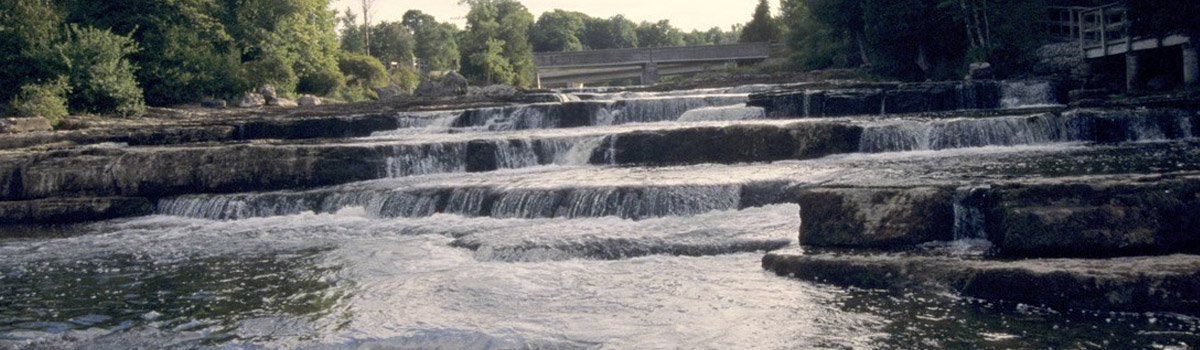
- Sauble Falls
Gatehouse
Latitude: 44.6734319
Longitude: -81.2570725