Les renseignements que contient sur cette carte sont fournis uniquement à titre indicatif pour trouver et visualiser les Parcs Ontario. Les cartes sont également fournies à titre indicatif. Les utilisateurs ne doivent en aucun cas considérer ces renseignements comme étant une source d’information faisant autorité ou une indication précise et exacte de l’emplacement de terres privées, de routes ou de caractéristiques, ni s’en servir comme guide pour la navigation.
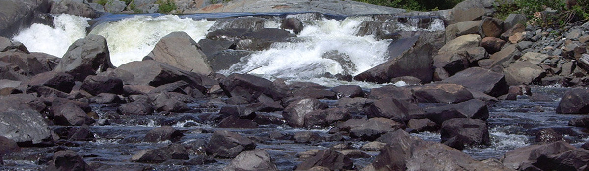
- Sturgeon River
No Main Entrance - general location of park
Latitude: 46.720316
Longitude: -80.363981
Cartes de la Parc (pdf)
![]() -
-